
Dr Saheba Bhatnagar
Senior Remote Sensing Scientist
Dr Saheba Bhatnagar's interests
Nature-Based Solutions
Blue Carbon
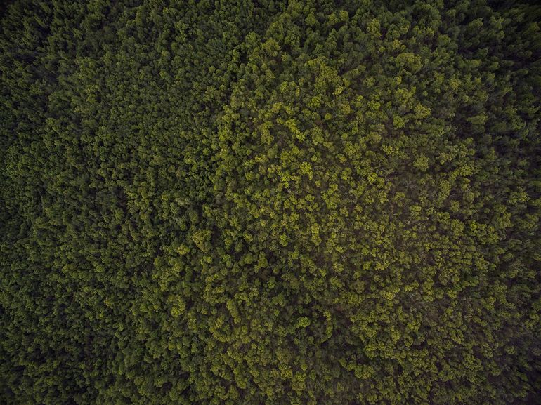
Forestry
Soil Carbon & Agriculture
Artificial intelligence
Data science
Drone surveys
Geoinformatics
Geospatial sciences
GIS
Hydrology
LiDAR
Machine learning
Mathematics
Remote sensing
Satellite imagery
Image processing
Dr Saheba Bhatnagar is a remote sensing scientist specialised in the analysis and interpretation of remote sensed imagery including multispectral, infrared, hyperspectral, optical drone and LiDAR, leveraging tools in Python. Her PhD dissertation involved mapping the health of wetlands' vegetation (in specific peatlands like raised-bogs, fens) in Ireland using optical data (satellite and drone) with machine and deep learning along with integration of satellite and drone imagery for an EPA project 'EcoMetrics'. During her master's, she worked on integrating elevation model with hyperspectral data (from NEON) for an active learning classification technique.
Saheba was a postdoc researcher prior to joining BeZero. Her postdoctoral research included automatic detection of wheelruts in harvested forest using deep learning, along with tree species detection in Norway. She also worked as an consultant for AllSkog overseeing their deep learning framework for tree-species detection.
Education
Norwegian Institute of Bioeconomy Research (NIBIO), Post-Doctoral Researcher at the Division of Forest and Forest Resources, National Forest Inventory department
Trinity College Dublin, PhD on a collaborative project with the Environmental Protection Agency, Ireland focused on the mapping and monitoring of wetland health using space and airborne remote sensing
Indian Institute of Space Science and Techology (IIST), Department of Space, Government of India, Master of Technology (MTech) in Geoinformatics, Earth and Space Science Dept
Research associations
Stakeholder representing BeZero in the CREDIBLE Project
Member of IEEE Image Analysis a and Data Fusion (IADF) Technical Committee
Member of IEEE Geoscience and Remote Sensing Society
Related Insights
Read more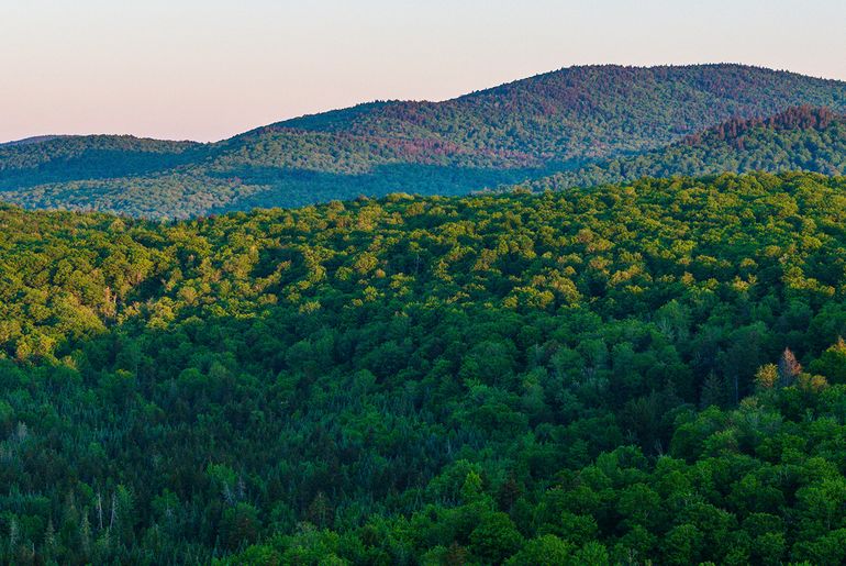
Webinar - ARR insights
Providing insight into BeZero’s ratings of ARR projects, including geospatial and EO capabilities, and responses to questions asked during the webinar
Afforestation, Reforestation and Restoration - the root of carbon removals
Outlining case studies within the ARR sub-sector to showcase additionality and non-permanence within commercial and community-based plantations